Welcome to the Map Library
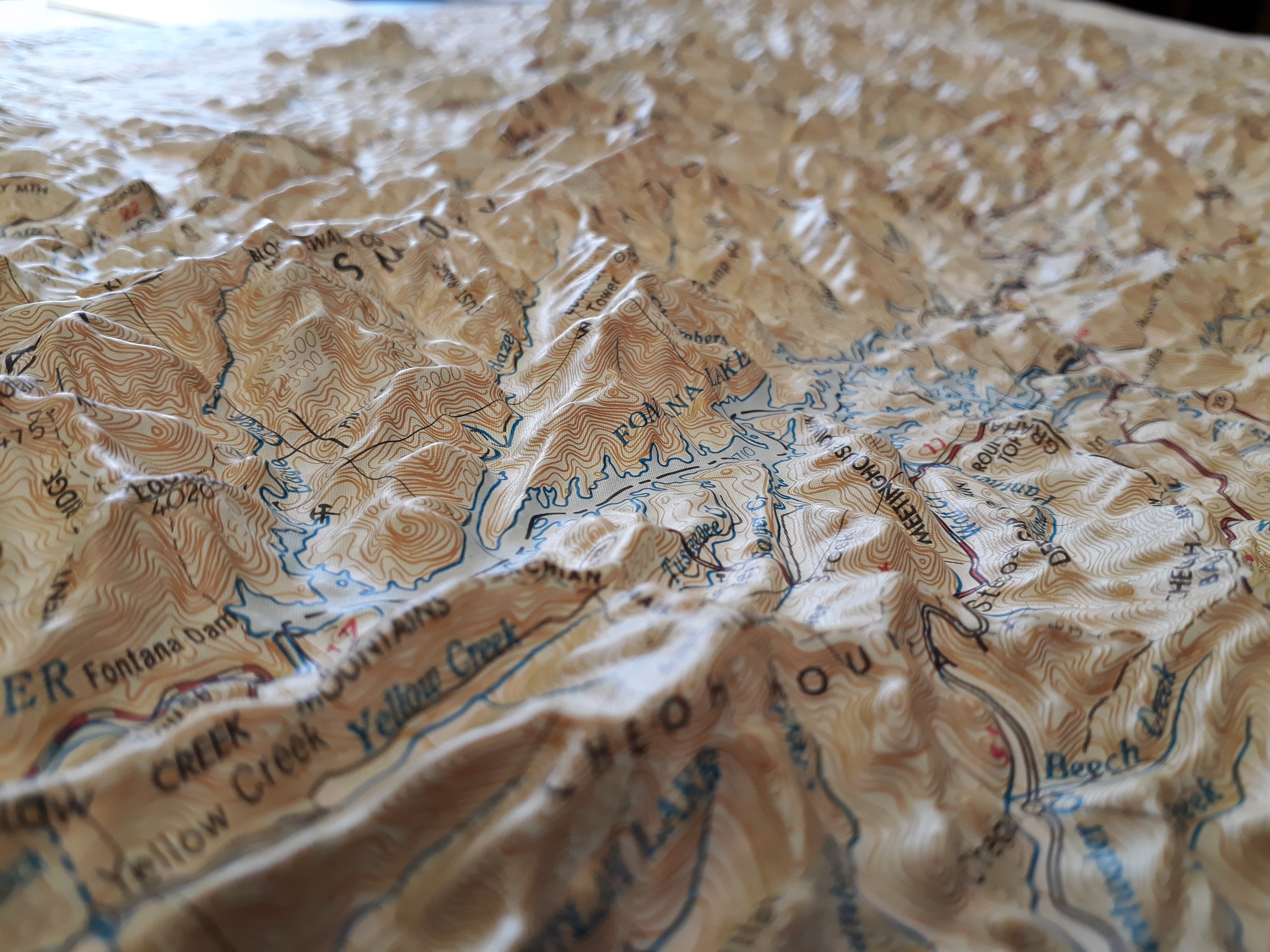
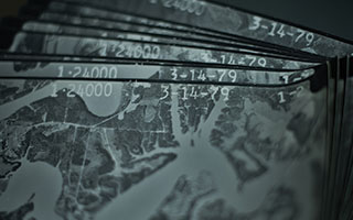
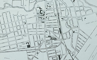
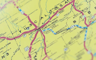
The Map Library is a Regional Depository for the United States Geological Survey and Bureau of Land Management, and includes over 1,700 monographs, 270,000 maps and 75,000 aerial photographs. The Map Library also holds an extensive collection of ancient maps as well as materials related to toponymics. The materials are for in-house use only.
The Map Library is located in the University of Alabama Department of Geography, together with the Cartographic Research Lab, and the Laboratory for Location Science, making it part of a cluster of excellence in GIS, cartography, and location services.
Search Our Catalog